

Indicative maps and images
Back to Project overview
Here you can find indicative turbine layout maps and conceptual layouts and drawings from various locations for Huriwaka Wind Farm. Given they’re conceptual they are also likely to change depending on the turbines we use, wind assessments, resource consent conditions and consultation with neighbouring property owners.
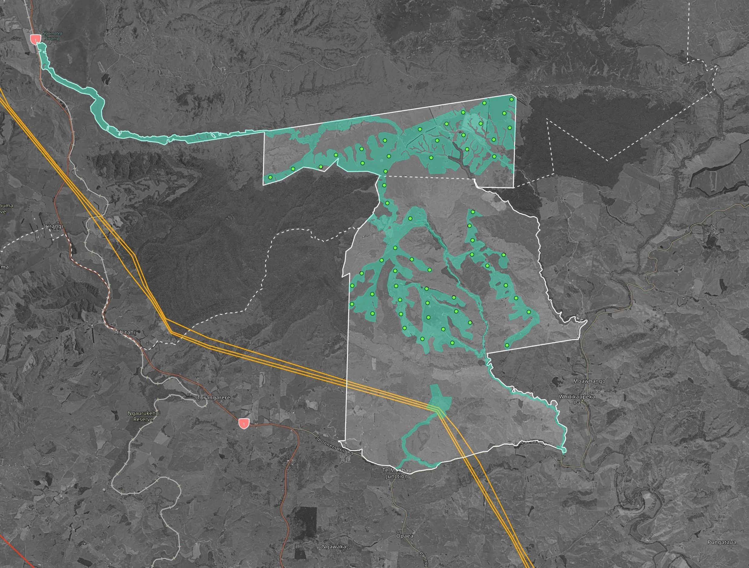
Indicative Turbine Layout showing roading corridor

Indicative topographical map
Concept Viewpoints
From Moawhango Village
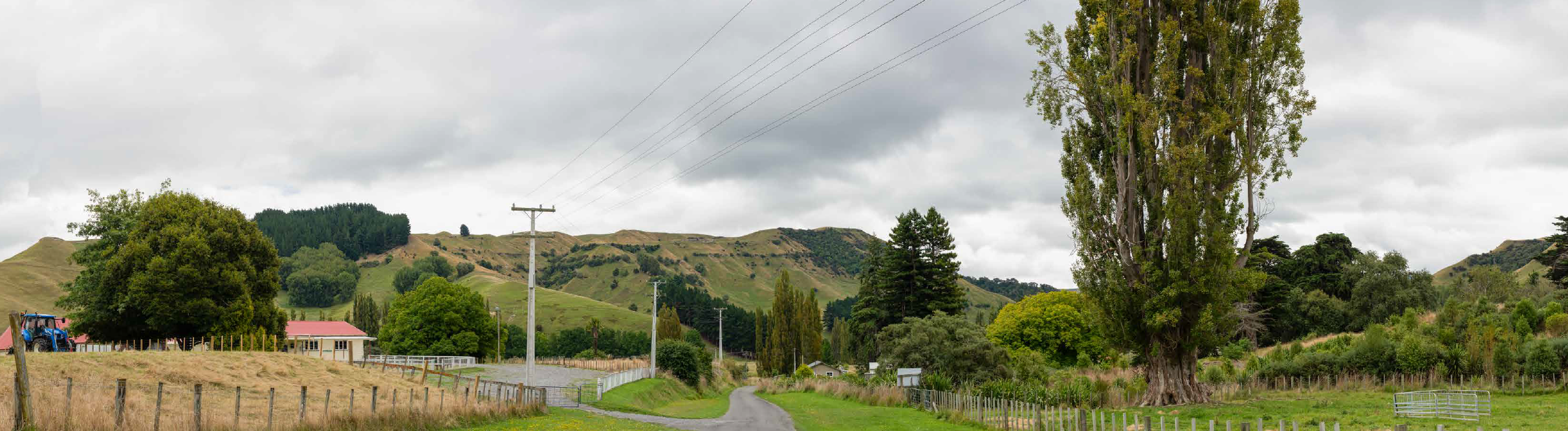
Before

After

Before

From Moawhango School
After
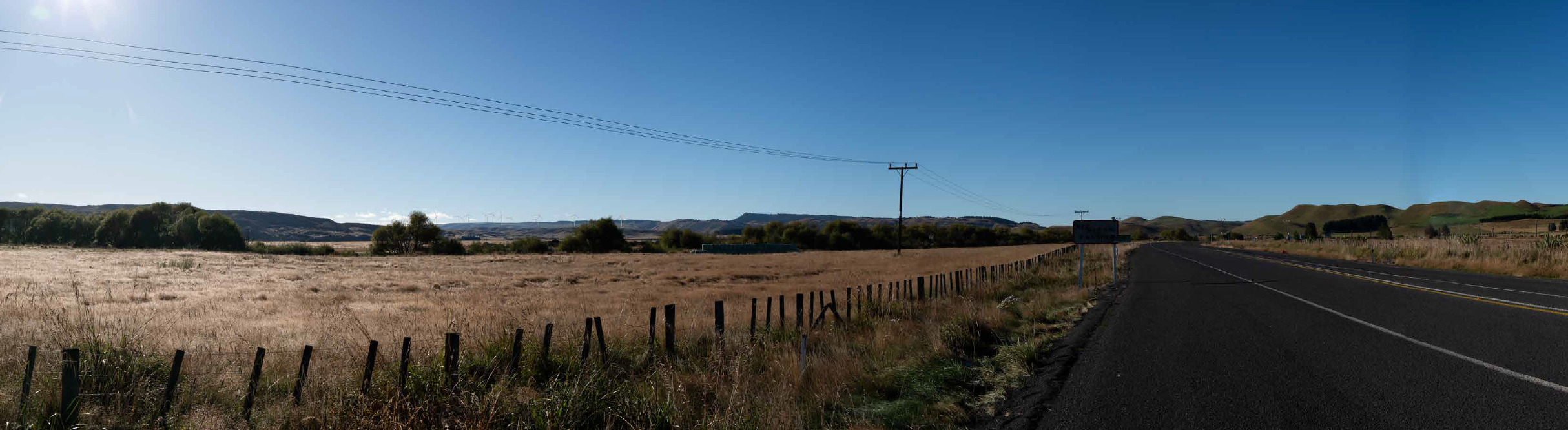
From near Waiouru

Before
After
After
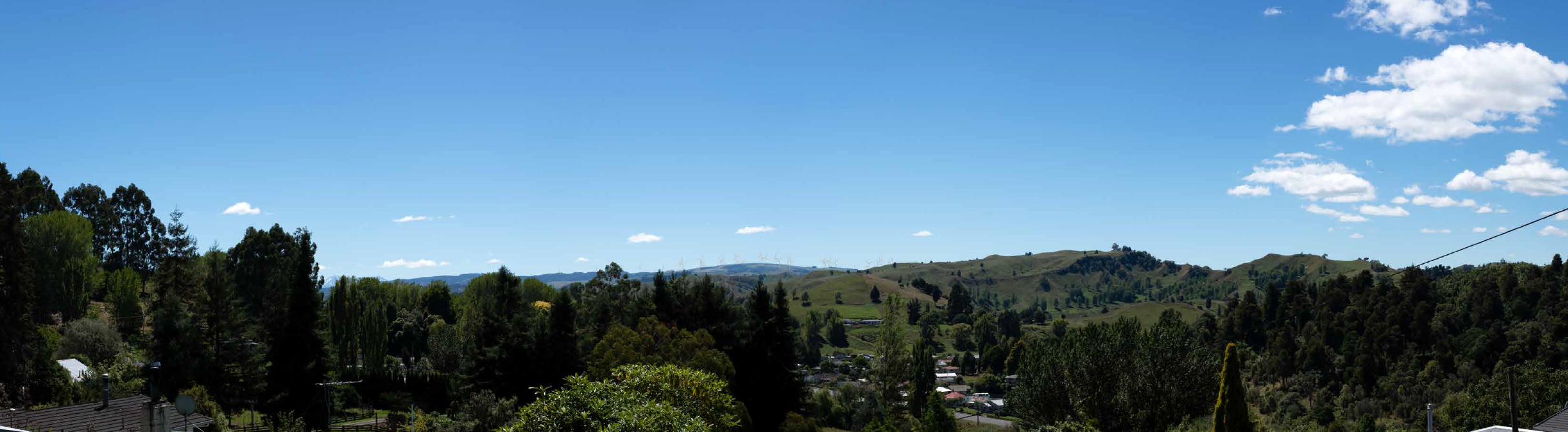
From Swan Street, Taihape

Before
After
Viewpoint Locations
For more viewpoint images, please click the viewpoint location to the right to open each one.
Please note that these files are in the concept design stage and may be subject to changes as the project progresses.


After
Before